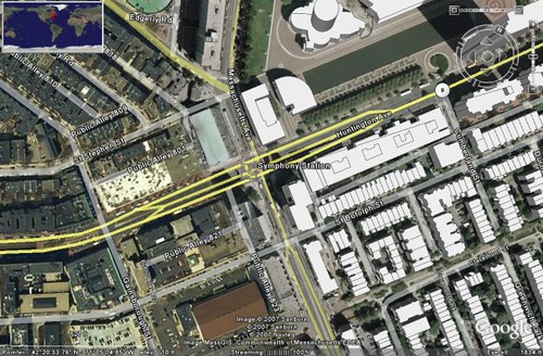
Google Maps add 3D building views to online maps and Google Earth maps with building layers, adds depth and detail to the map view.
Frank Taylor, Google Earth, announced today that Google Maps have added 3D views for the online street Maps. It is not a fully 3D view, but the buildings will have projections of actual buildings with similar height and shape one sees in the actual view of the buildings.

Alex of Google Operating System, said these are Google's building layers, enhances the satellite images such as airports, road name, parks, pictures and other stuff. To see this in Google Earth, go to the layers sidebar and enable "3D buildings". These layers are not stored in the user's computers instead is stored in Google's servers, so when you browse the map either online or in Google Earth one can see these building layers in the map.
It is like a building Construction Plan in 3D, better to navigate and have an idea of the location.
Ref: http://googlesystem.blogspot.com/2007/04/google-maps-adds-3d-buildings.html
No comments:
Post a Comment